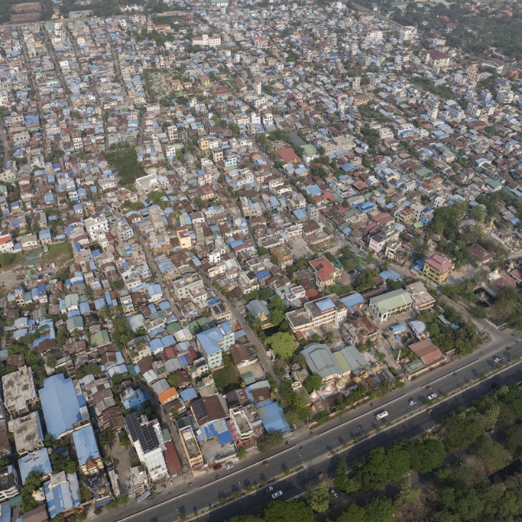
An aerial drone photo taken on March 31, 2025 shows the city view after a 7.9-magnitude earthquake in Mandalay, Myanmar. [Photo/Xinhua]
An aerial drone photo taken on March 31, 2025 shows the city view after a 7.9-magnitude earthquake in Mandalay, Myanmar. [Photo/Xinhua]
An aerial drone photo taken on March 31, 2025 shows the city view after a 7.9-magnitude earthquake in Mandalay, Myanmar. [Photo/Xinhua]
An aerial drone photo taken on March 31, 2025 shows the city view after a 7.9-magnitude earthquake in Mandalay, Myanmar. [Photo/Xinhua]
An aerial drone photo taken on March 31, 2025 shows the city view after a 7.9-magnitude earthquake in Mandalay, Myanmar. [Photo/Xinhua]
An aerial drone photo taken on March 31, 2025 shows the city view after a 7.9-magnitude earthquake in Mandalay, Myanmar. [Photo/Xinhua]
An aerial drone photo taken on March 31, 2025 shows the city view after a 7.9-magnitude earthquake in Mandalay, Myanmar. [Photo/Xinhua]
If you have any problems with this article, please contact us at app@chinadaily.com.cn and we'll immediately get back to you.